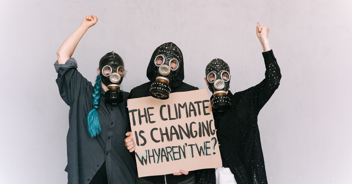

climate resilience
7 Commuter Myths That Drain Climate Resilience
7 Commuter Myths That Drain Climate Resilience Raising your driveway does not solve flooding; it can worsen drainage and strain climate resilience. In 2022, a GreenBiz study found that flexible work schedules can cut commuter emissions by up to 18%, showing that simple behavior changes often outpace costly infrastructure fixes.